This page contains affiliate links. If you purchase through them we may earn a small commission at no extra cost to you. Learn more
How to Read UK Mountain Weather: MWIS, Met Office and SAIS
How to Read UK Mountain Weather: MWIS, Met Office and SAIS
General weather apps are built for towns. Mountains run their own rules — wind speed doubles between valley and summit, cloud base drops onto ridges with no warning, and a benign-looking forecast for the nearest city can mean zero visibility and 60mph gusts above 600 metres. Three dedicated services exist specifically to give you the right information. Here is what each one does and when to use it.
Quick Summary
- MWIS covers 10 upland regions (5 Scottish, 5 English/Welsh) — check it the evening before and morning of your walk.
- Met Office mountain forecasts use impact/probability language and colour-coded warnings; Amber or Red means reconsider your plan.
- SAIS runs a 5-level European avalanche scale for 7 Scottish regions — level 3+ (Considerable) means real danger on steep terrain.
The Three Services at a Glance
| Service | What it covers | Update frequency | When to use it |
|---|---|---|---|
| MWIS (mwis.org.uk) | 10 UK upland regions | Daily | Every hillwalk, every season |
| Met Office Mountain (metoffice.gov.uk) | UK-wide + regional | Continuous | Named storms, colour warnings |
| SAIS (sais.gov.uk) | 7 Scottish mountain regions | Daily (winter season) | Any Scottish winter outing |
MWIS: Your First Stop for Upland Forecasts
The Mountain Weather Information Service is funded by sportscotland and runs in association with Mountaineering Scotland and the Association of Mountaineering Instructors (AMI). It covers 10 dedicated UK mountain regions — not general county areas, but the specific upland terrain where conditions diverge sharply from the valleys below.
Scottish regions:
- Northwest Highlands
- West Highlands
- Cairngorms NP and Monadhliath
- Southeastern Highlands
- Southern Uplands
English and Welsh regions:
- Lake District
- Yorkshire Dales and North Pennines
- Peak District
- Eryri / Snowdonia National Park
- Brecon Beacons
Forecasts are written "largely in the form of warnings" — that phrasing matters. A short forecast means conditions are relatively benign. A long, detailed forecast means there is real hazard to communicate. If you open the MWIS Lake District page on a Friday evening and the forecast is three paragraphs, read every line.
How to Read a MWIS Forecast
MWIS forecasters deliberately use impact language — not "wind 50mph" but "gusts strong enough to knock walkers off their feet on exposed ridges." This is more actionable than raw data. They also include probability wording for severe conditions even when risk is relatively low. A phrase like "there is a small but non-negligible risk of thunderstorms above 700m in the afternoon" is a warning — plan your timing accordingly.
Practical use: if you are walking Skiddaw on Saturday, open the MWIS Lake District forecast on Friday evening. If it describes deteriorating conditions from early afternoon, start early and be off the summit ridge by noon.
MWIS also links through to live mountain webcams and synoptic charts. The summit webcam for Ben Nevis or the Cairngorms gives you a real-time check — if the webcam shows cloud at 900m on Friday afternoon, conditions on Saturday are unlikely to be dramatically better unless the forecast says the front clears overnight.
Met Office Mountain Forecasts
The Met Office's National Severe Weather Warning Service (NSWWS) operates a colour-coded impact-based alert system:
- Yellow — Be aware. Severe weather possible; some disruption likely
- Amber — Be prepared. Serious conditions; significant disruption expected
- Red — Take action. Dangerous conditions; risk to life
Since 2023, the system explicitly describes real-world effects rather than meteorological thresholds alone. An Amber wind warning no longer just quotes a wind speed — it describes what that speed will do to exposed mountain users.
The Met Office is your alert system for named storms and rapidly developing severe weather. Storm Dave in early April 2026 carried an Amber wind warning over Easter weekend — exactly the kind of event that catches hillwalkers out when they have booked a trip weeks in advance. Check for active warnings the morning of your walk regardless of what MWIS shows, because Amber and Red warnings can be issued or upgraded at short notice.
An Amber or Red warning covering your planned area is a strong signal to abandon or significantly modify your route. These warnings are not issued lightly — they indicate conditions that pose a genuine risk to life on exposed terrain. Move your trip or drop to lower, more sheltered ground.
SAIS: Avalanche Forecasting for Scottish Mountains
The Scottish Avalanche Information Service (SAIS) is funded by sportscotland, with forecast data supplied by the Met Office. It is a member of European Avalanche Warning Services and uses the shared five-level European Avalanche Hazard Scale.
SAIS covers seven mountain forecast regions:
- Creag Meagaidh
- Glencoe
- Lochaber
- Northern Cairngorms
- Southern Cairngorms
- Torridon
- Western
The Five-Level Scale
| Level | Rating | What it means on the hill |
|---|---|---|
| 1 | Low | Generally safe. Human-triggered avalanches only possible in isolated extreme terrain |
| 2 | Limited / Moderate | Heightened vigilance needed on steep slopes; weak layers present |
| 3 | Considerable | Human-triggered avalanches likely on steep slopes; natural avalanches possible |
| 4 | High | Natural and human-triggered avalanches very likely; avoid avalanche terrain |
| 5 | Very High | Large natural avalanches likely even on gentle terrain; stay off the mountain |
Levels 1–2 are the range where most competent winter walkers can operate if they route carefully. Level 3 (Considerable) is the threshold where inexperienced winter walkers should seriously reconsider — human-triggered avalanches on steep slopes are not an edge case at this level, they are expected. Levels 4 and 5 are not conditions for the hills unless you have specific avalanche training and equipment.
SAIS reports also include observed avalanche activity from the previous 24–48 hours and notes on snowpack structure by aspect and elevation. The "aspect" information is particularly useful — a report noting unstable wind slabs on north-facing slopes above 900m tells you precisely which terrain features to avoid on your route.
SAIS runs through the winter season and may extend into April when significant snow cover remains — in spring 2025, the Lochaber and North Cairngorm forecasts were extended for exactly this reason. Do not assume the service has closed just because it is April.
For any Scottish winter outing, carry SAIS alongside MWIS. They are answering different questions: MWIS tells you what the weather will do; SAIS tells you what the snowpack will do because of the weather.
Putting It Together: A Decision Framework
The evening before:
- Open MWIS for your specific region. Read the length and language of the forecast.
- Check the Met Office for any active Amber or Red warnings.
- If SAIS season is active and you are going to Scotland, check the relevant SAIS region.
Morning of the walk: 4. Recheck Met Office warnings — these can change overnight. 5. If MWIS forecast flagged deterioration, confirm timing and adjust your start time or route.
On the hill: 6. Watch the sky — the sequence from cirrus to altostratus to nimbostratus is a few hours of warning before rain arrives (see [[reading-weather-signs]] for cloud identification). 7. If conditions deteriorate faster than forecast, the forecast was wrong. Act on what you see, not what you were told to expect.
Mountain weather forecasting has real limits. MWIS forecasters work at daily resolution — if a front accelerates overnight, the morning forecast can be meaningfully out of date by lunchtime. Read the forecast the night before and again in the morning. If both readings suggest the same hazard, it is almost certainly real.
Mountaineering Scotland's Near-Miss Programme
Mountaineering Scotland runs an ongoing incident and near-miss survey for members in Scotland. As of March 2026, the organisation is actively using submitted reports to shape future mountain safety guidance — not just archiving them. The programme is led by Senior Mountain Safety Advisor Ross Cadie. If you have a close call on a Scottish hill, reporting it at mountaineering.scot contributes directly to evidence-based improvements in what guidance gets produced. This is how official safety advice gets better.
Further Resources
- MWIS: mwis.org.uk — 10-region daily forecasts, webcams, synoptic charts, weather skills courses
- Met Office warnings: metoffice.gov.uk/weather/warnings-and-advice
- SAIS: sais.gov.uk — avalanche forecasts, reporting tool, "Be Avalanche Aware" educational materials
- Mountaineering Scotland: mountaineering.scot — subsidised navigation and avalanche awareness courses
Ready to gear up?
Use our kit builder to get a complete packout list tailored to your trip type, terrain, and budget — with prices and buy links.
Related reading
Reading Weather Signs: A Complete UK Outdoor Guide
How to read clouds, wind, and pressure changes to predict UK weather — practical skills for hill walkers and wild campers.
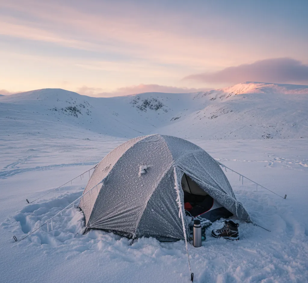
Winter Camping Skills: Staying Warm & Safe in the UK
Essential winter camping skills for UK conditions — layering systems, condensation management, cold-weather cooking, and hypothermia awareness.
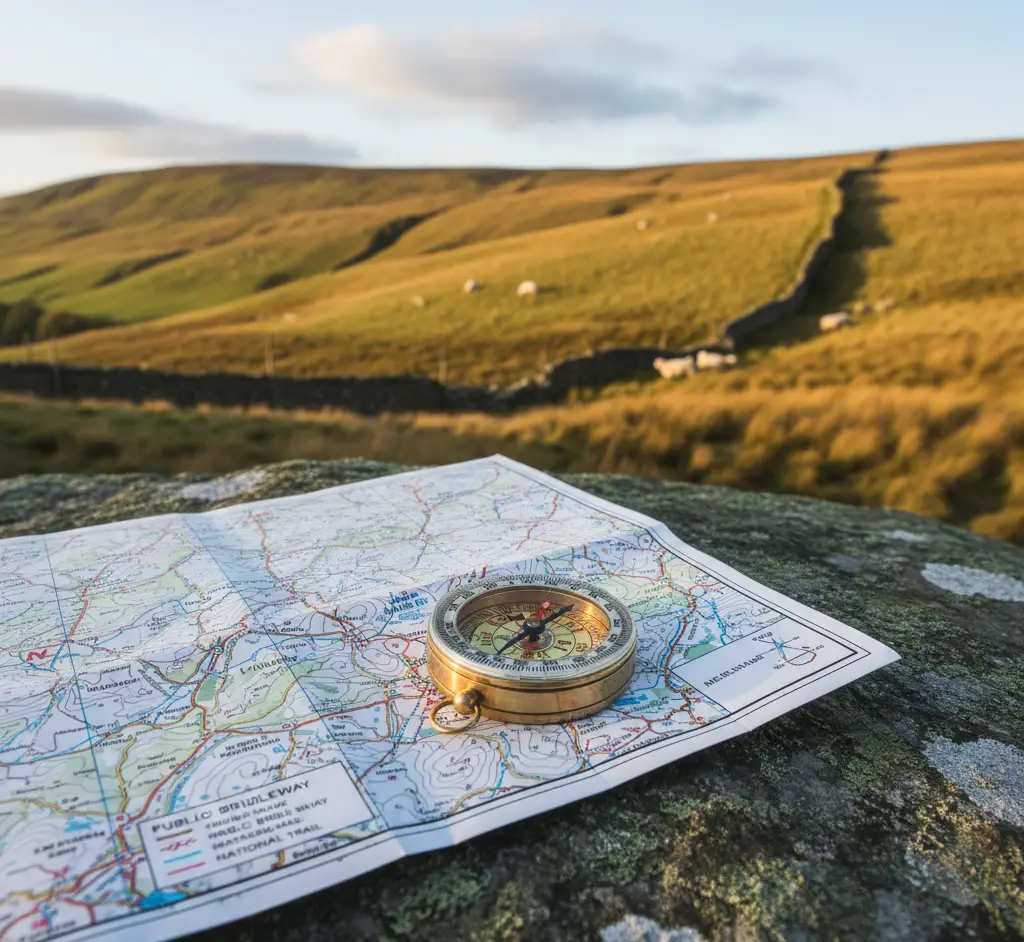
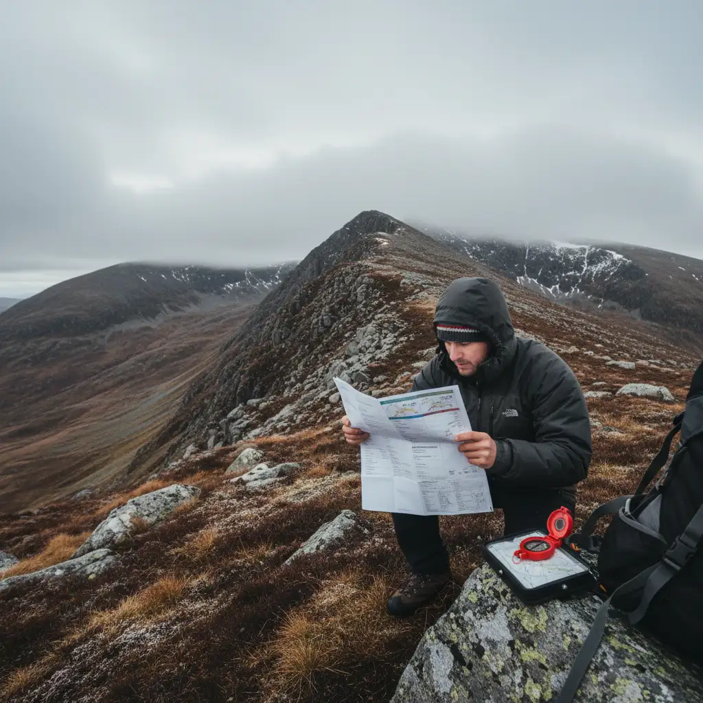
Navigation Without GPS: Map, Compass & Natural Navigation
How to navigate with a map, compass, and natural signs when GPS fails — essential skills for UK hill walking and bushcraft.
Best Navigation Gear for UK Hikers and Walkers 2026
Best compasses, head torches and GPS devices for UK hiking in 2026. Budget to premium navigation gear reviewed and compared for walkers and backpackers.